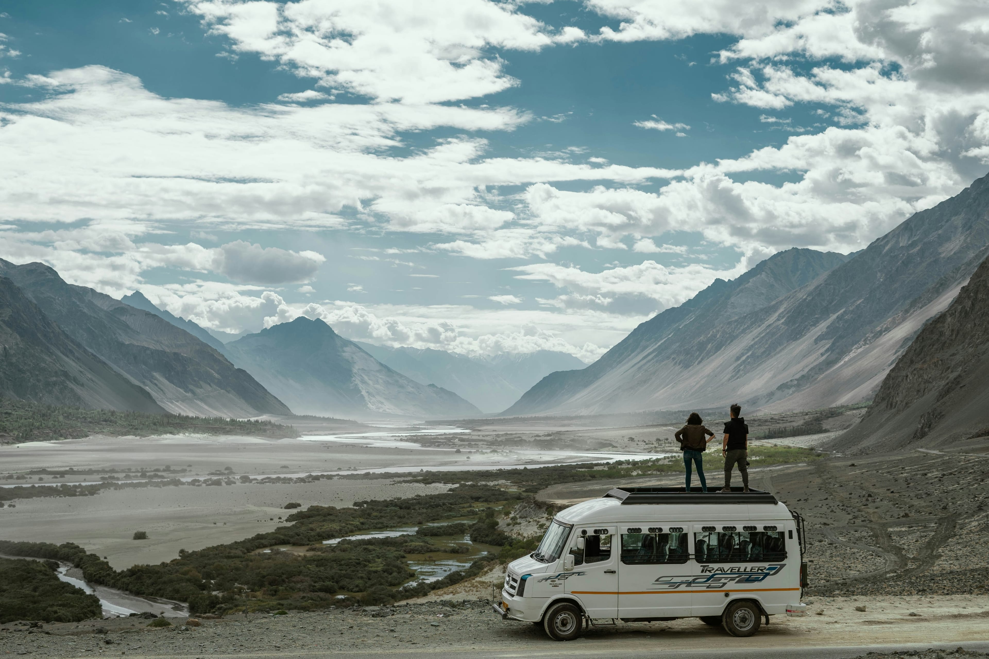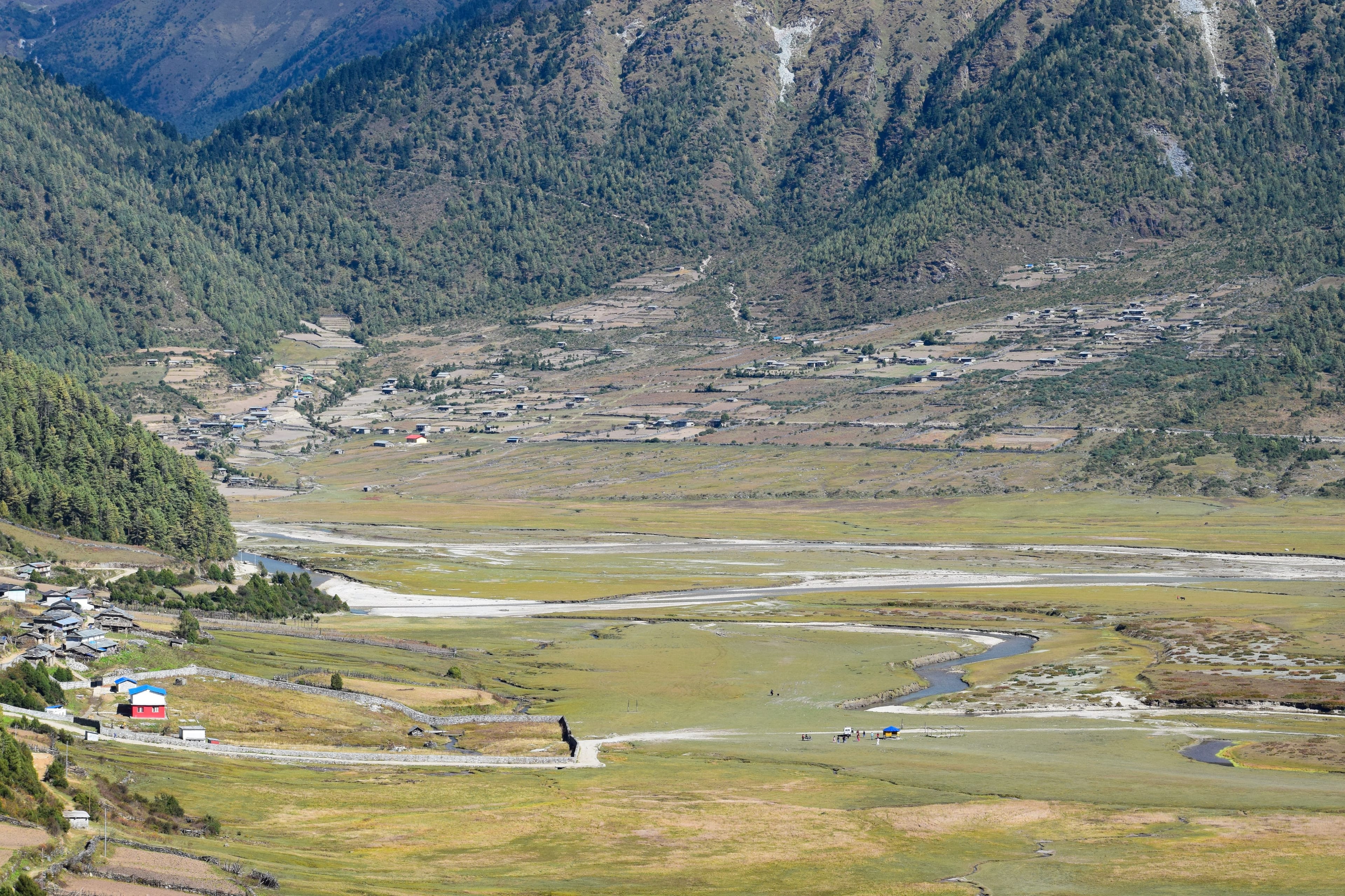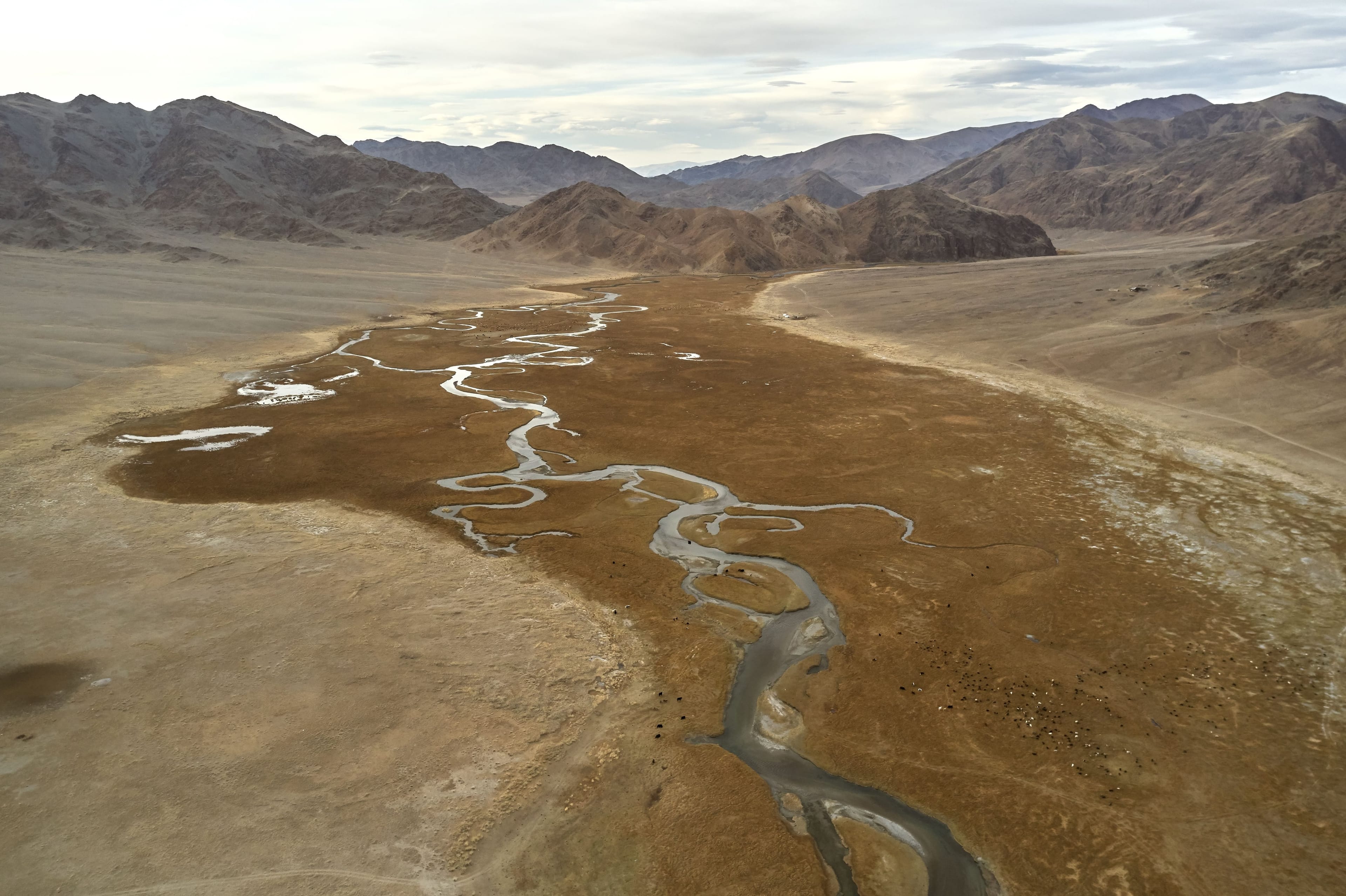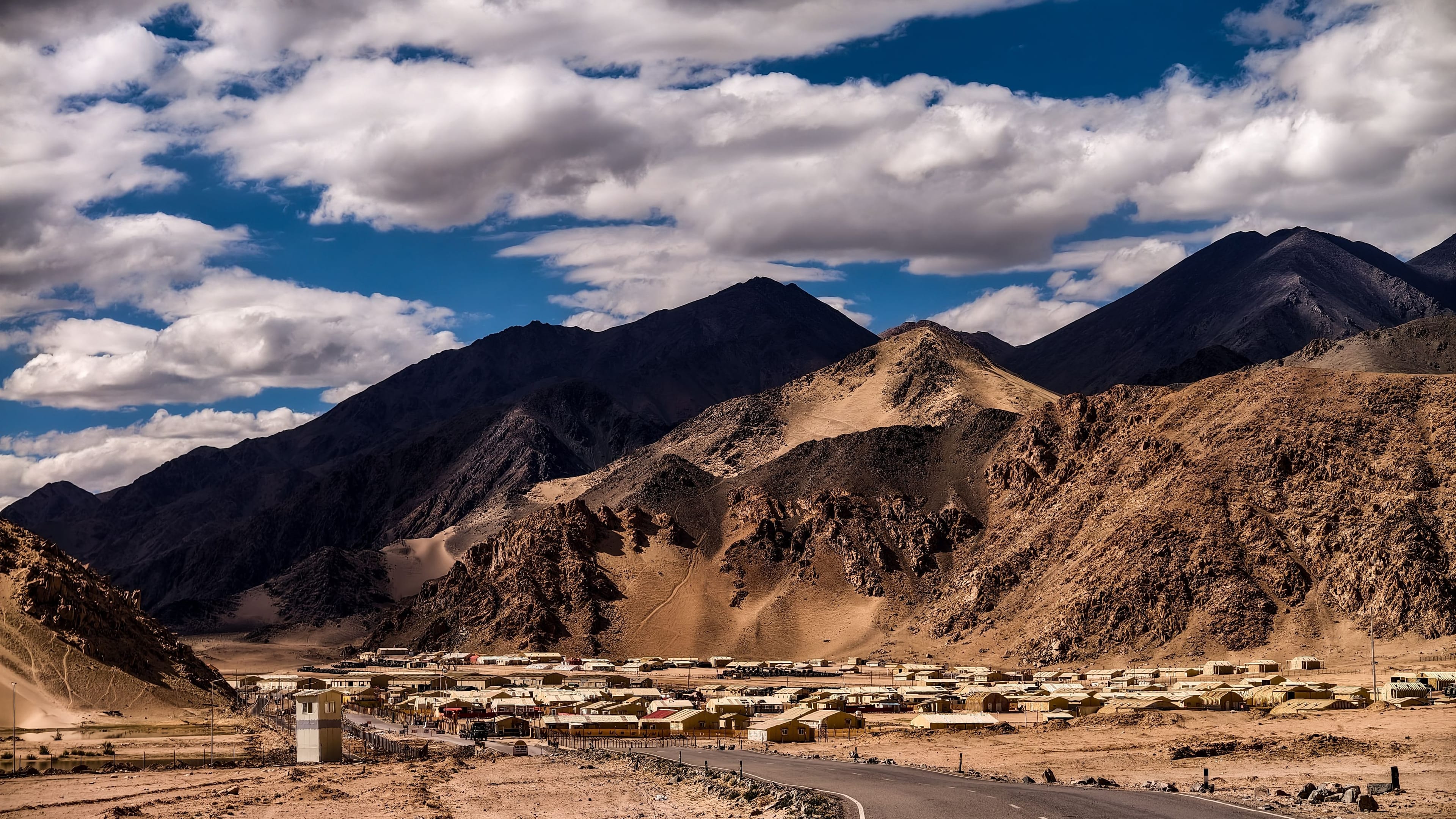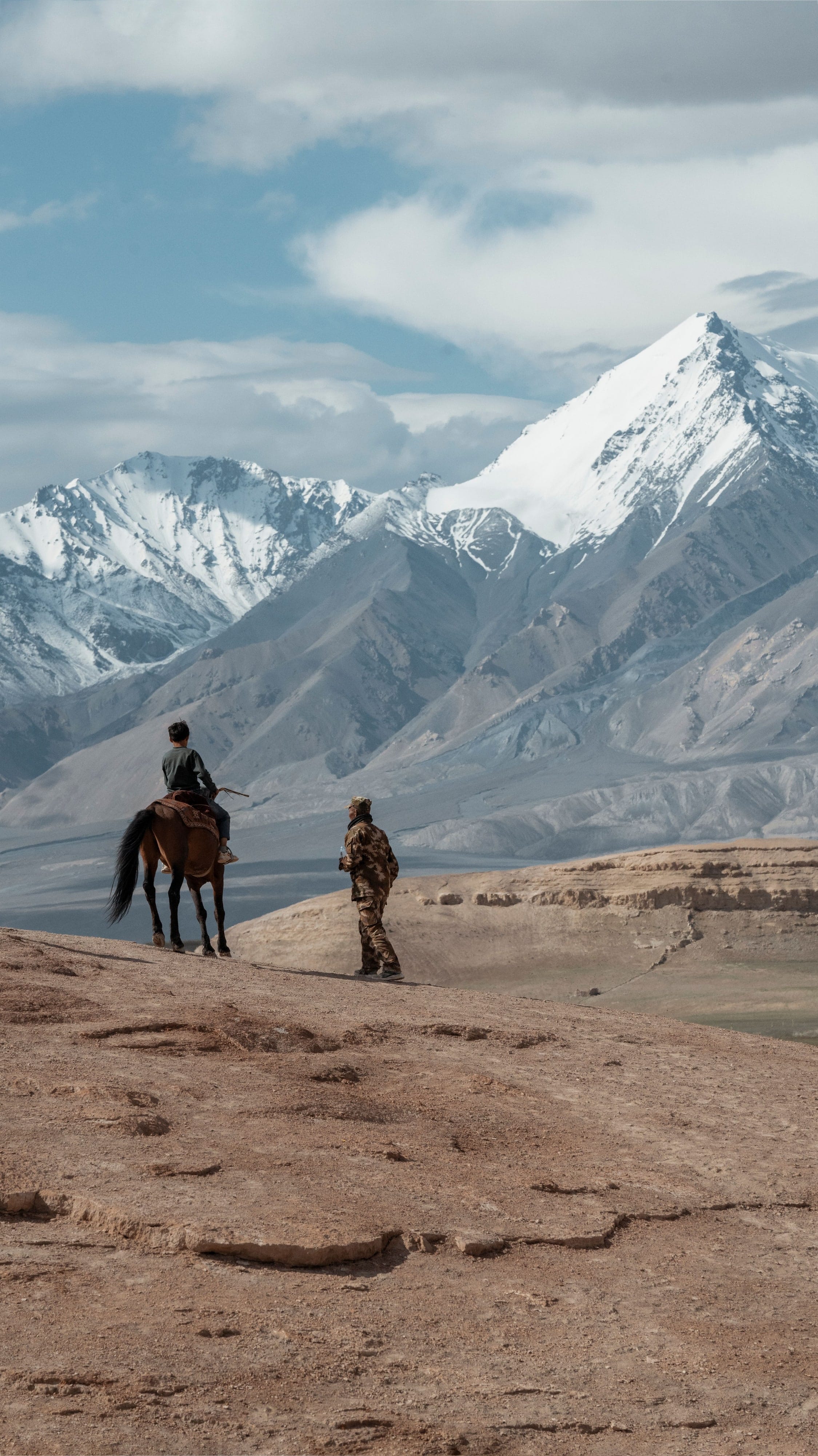
Stop 1 of 6 · Town · km 0 of 261
Leh
Altitude 3,500 m · km 0 of 261
Start. Plan for a long driving day and several nights at altitude.
Nearby
- Leh Palace
Namaste! 👋 Tell us a little about you, then send your message on WhatsApp.
Your details are used only to reply to you. Privacy
Route map
Choose a road and travel it stop by stop: the altitude at every pass, the distance between villages and the places worth pausing for. Every line follows the real road, measured from open map and terrain data.
Hard · June to September
The long road east through Nyoma to one of the darkest night skies in India.
About this route. Road line and driving distances from OpenStreetMap (routed with OSRM); elevation profile from the Copernicus GLO-90 elevation model. Roads in Ladakh change with the seasons: always check current conditions locally before you travel. Use it to plan, not to navigate.
Permits: Hanle needs a permit for most visitors. Rules change: confirm before you travel.
| Stop | Km | Altitude |
|---|---|---|
| Leh | 0 | 3,500 m |
| Upshi | 47.7 | 3,400 m |
| Chumathang | 138 | 4,030 m |
| Mahe | 163.1 | 4,160 m |
| Nyoma | 183.9 | 4,190 m |
| Hanle | 261.3 | 4,260 m |
Stop 1 of 6 · Town · km 0 of 261
Altitude 3,500 m · km 0 of 261
Start. Plan for a long driving day and several nights at altitude.
Route lines and distances: © OpenStreetMap contributors (ODbL), routed with OSRM. Elevation: Copernicus GLO-90 digital elevation model, © DLR / Airbus, provided under COPERNICUS by the European Union and ESA, via Open-Meteo; and NASA SRTM via OpenTopoData. Roads in Ladakh change with the seasons; always check current conditions locally.