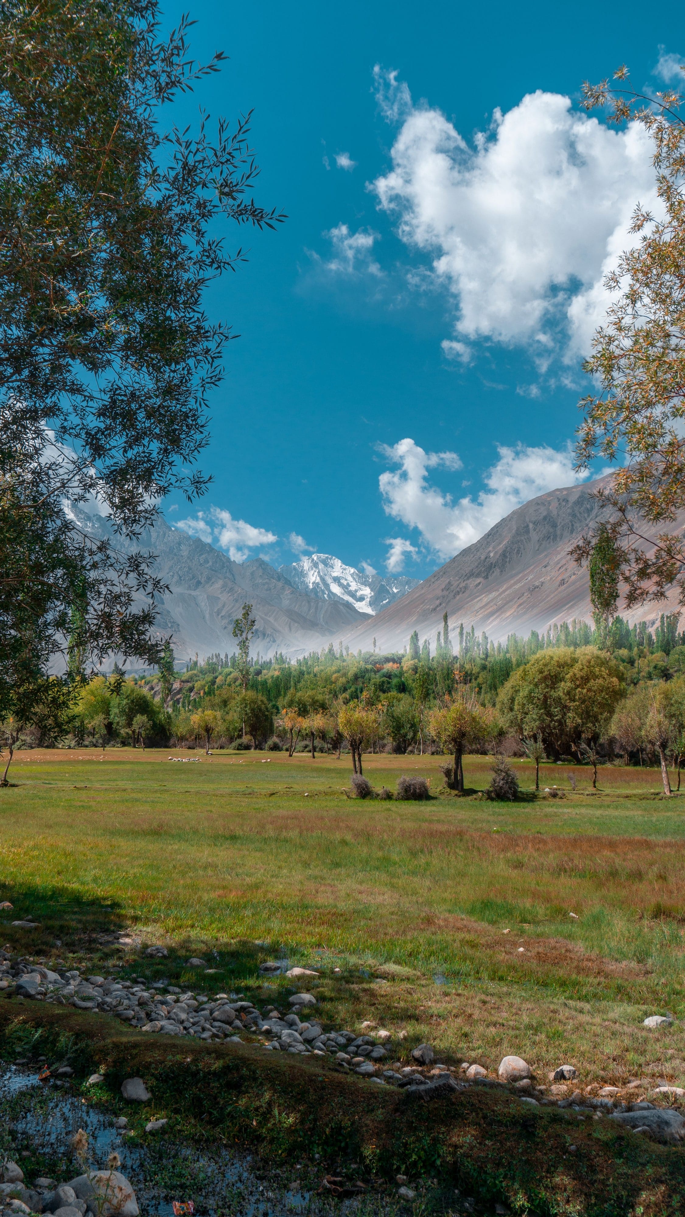
Stop 1 of 6 · Town · km 0 of 205
Leh
Altitude 3,500 m · km 0 of 205
Start point. Spend at least two days here to acclimatise before crossing a 5,000 m pass.
Nearby
- Leh Palace
- Shanti Stupa
- Main Bazaar
Namaste! 👋 Tell us a little about you, then send your message on WhatsApp.
Your details are used only to reply to you. Privacy
Route map
Choose a road and travel it stop by stop: the altitude at every pass, the distance between villages and the places worth pausing for. Every line follows the real road, measured from open map and terrain data.
Moderate · June to September
Over Khardung La into the Shyok and Nubra valleys, then north-west to the Balti village of Turtuk.
About this route. Road line and driving distances from OpenStreetMap (routed with OSRM); elevation profile from the Copernicus GLO-90 elevation model. Roads in Ladakh change with the seasons: always check current conditions locally before you travel. Use it to plan, not to navigate.
Permits: Nubra and Turtuk need a permit for most visitors. Rules change: confirm with the Leh administration before you travel.
| Stop | Km | Altitude |
|---|---|---|
| Leh | 0 | 3,500 m |
| Khardung La | 37.2 | 5,359 m |
| Khalsar | 93.1 | 3,290 m |
| Diskit | 113 | 3,110 m |
| Hunder | 123 | 3,130 m |
| Turtuk | 205.4 | 2,800 m |
Stop 1 of 6 · Town · km 0 of 205
Altitude 3,500 m · km 0 of 205
Start point. Spend at least two days here to acclimatise before crossing a 5,000 m pass.
Route lines and distances: © OpenStreetMap contributors (ODbL), routed with OSRM. Elevation: Copernicus GLO-90 digital elevation model, © DLR / Airbus, provided under COPERNICUS by the European Union and ESA, via Open-Meteo; and NASA SRTM via OpenTopoData. Roads in Ladakh change with the seasons; always check current conditions locally.