Namaste! 👋 Tell us a little about you, then send your message on WhatsApp.
WhatsApp number
Your details are used only to reply to you. Privacy
Route map
Roads, passes and the long way round
Choose a road and travel it stop by stop: the altitude at every pass, the distance between villages and the places worth pausing for. Every line follows the real road, measured from open map and terrain data.
Hard · June to mid-October
Manali to Leh
The classic high-altitude road trip from Himachal into Ladakh. Most traffic now takes the Atal Tunnel and skips Rohtang; the high passes beyond Keylong are the real adventure.
Distance
426 km
Duration
2-3 days
Highest
5,328 m
About this route. Road line and driving distances from OpenStreetMap (routed with OSRM); elevation profile from the Copernicus GLO-90 elevation model. Roads in Ladakh change with the seasons: always check current conditions locally before you travel. Use it to plan, not to navigate.
Permits: No permit is needed via the Atal Tunnel; a separate online permit is required only if you drive up to Rohtang La itself. The highway is seasonal (usually June to mid-October), so check pass status before you set off.
Elevation profile
Terrain heights along the road from the Copernicus GLO-90 elevation model (tunnels drawn straight through).
Waypoints and altitudes for Manali to Leh
Stop
Km
Altitude
Manali
0
1,910 m
Atal Tunnel
28.3
3,060 m
Keylong
69.5
3,080 m
Jispa
91.1
3,260 m
Baralacha La
144.1
4,890 m
Sarchu
175.1
4,280 m
Pang
250.9
4,510 m
Tanglang La
316.8
5,328 m
Upshi
377.5
3,400 m
Leh
425.7
3,500 m
Stops
01 / 10
km 0 of 426 · 1,910 m
Stop 1 of 10 · Town · km 0 of 426
Manali
Altitude 1,910 m · km 0 of 426
Start. Most people break the journey at Keylong/Jispa or Sarchu.
Nearby
Old Manali
Stop 2 of 10 · Pass · km 28.3 of 426
Atal Tunnel
Altitude 3,060 m · km 28.3 of 426
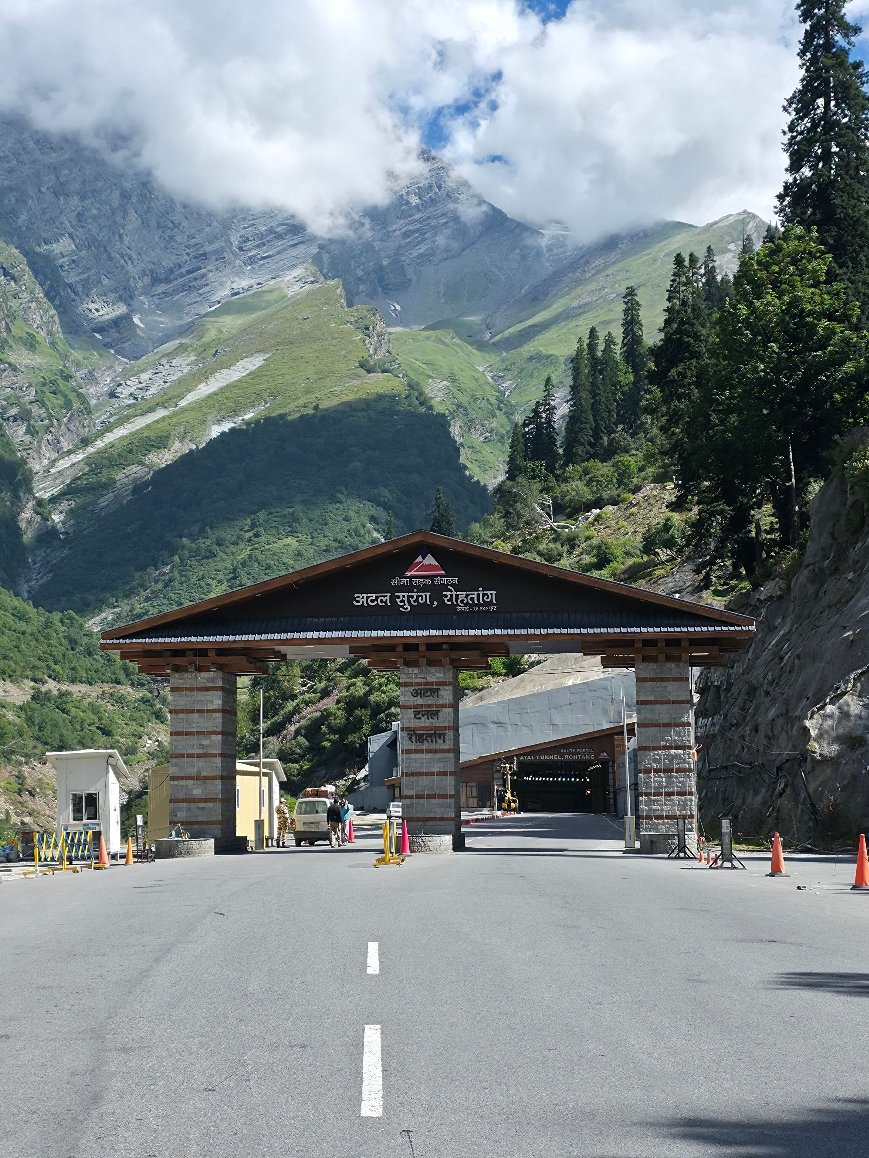
The 9 km tunnel under the Rohtang Pass, opened in 2020, is now the main way into Lahaul: no Rohtang permit is needed and it saves hours. The old road over Rohtang La (3,978 m) is still open in season for the views, with an online permit.
Nearby
Sissu waterfall
Rohtang La (old road)
Stop 3 of 10 · Village · km 69.5 of 426
Keylong
Altitude 3,080 m · km 69.5 of 426
The district headquarters of Lahaul; a sensible overnight stop.
Nearby
Kardang Monastery
Stop 4 of 10 · Village · km 91.1 of 426
Jispa
Altitude 3,260 m · km 91.1 of 426
Riverside valley stop with camps and guesthouses.
Nearby
Bhaga river
Stop 5 of 10 · Pass · km 144.1 of 426
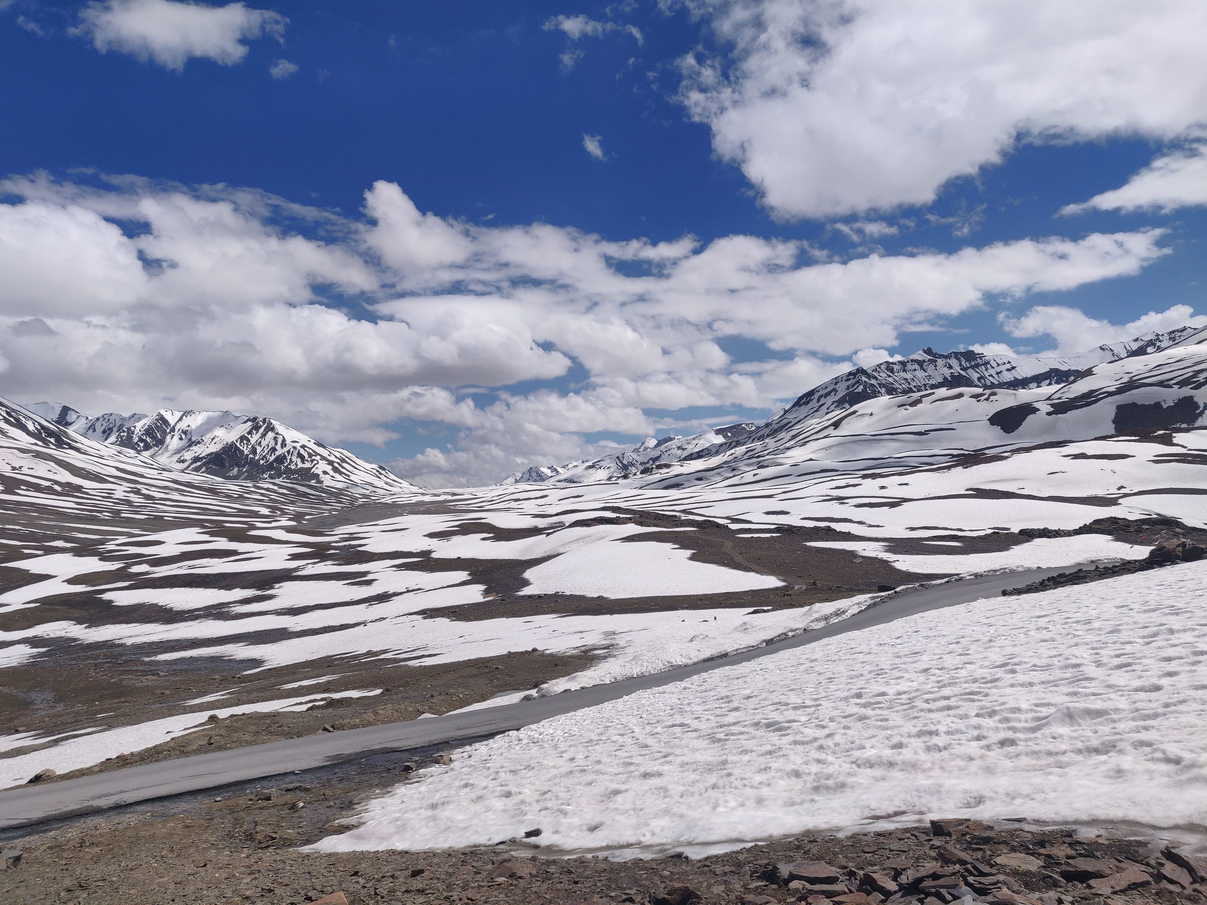
Baralacha La
Altitude 4,890 m · km 144.1 of 426
High, wide pass. Suraj Tal lake is nearby.
Nearby
Suraj Tal
Stop 6 of 10 · Camp · km 175.1 of 426
Sarchu
Altitude 4,280 m · km 175.1 of 426
Tented camps near the Himachal-Ladakh border. Many people feel altitude effects here.
Nearby
Camps
Stop 7 of 10 · Camp · km 250.9 of 426
Pang
Altitude 4,510 m · km 250.9 of 426
Tea tents and rest stops at a high plateau.
Nearby
More Plains approach
Stop 8 of 10 · Pass · km 316.8 of 426
Tanglang La
Altitude 5,328 m · km 316.8 of 426
The last big pass before the descent to the Indus.
Nearby
Pass shrine
Stop 9 of 10 · Village · km 377.5 of 426
Upshi
Altitude 3,400 m · km 377.5 of 426
Back at the Indus; fuel and tea.
Nearby
Indus river
Stop 10 of 10 · Town · km 425.7 of 426
Leh
Altitude 3,500 m · km 425.7 of 426
Rest. Give yourself a full day before going higher.